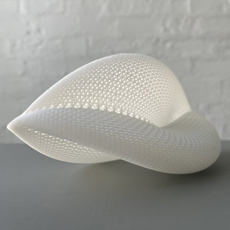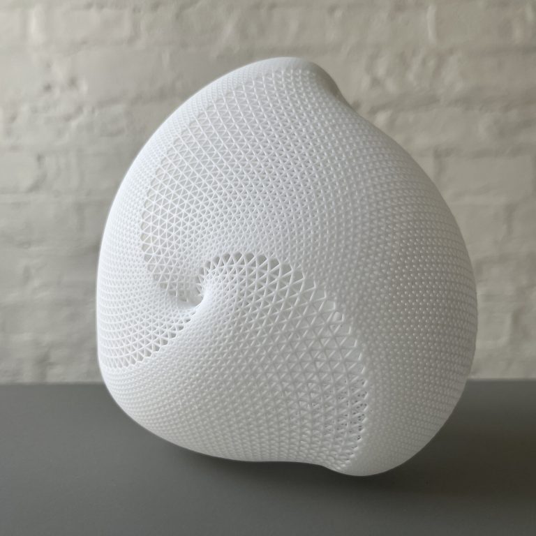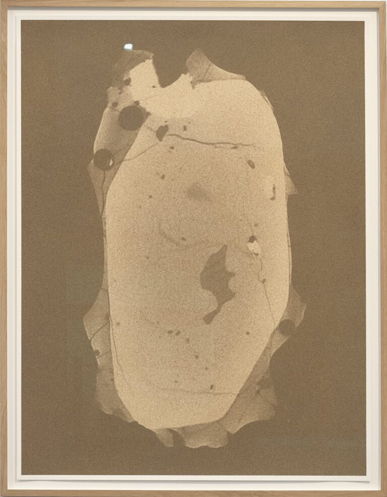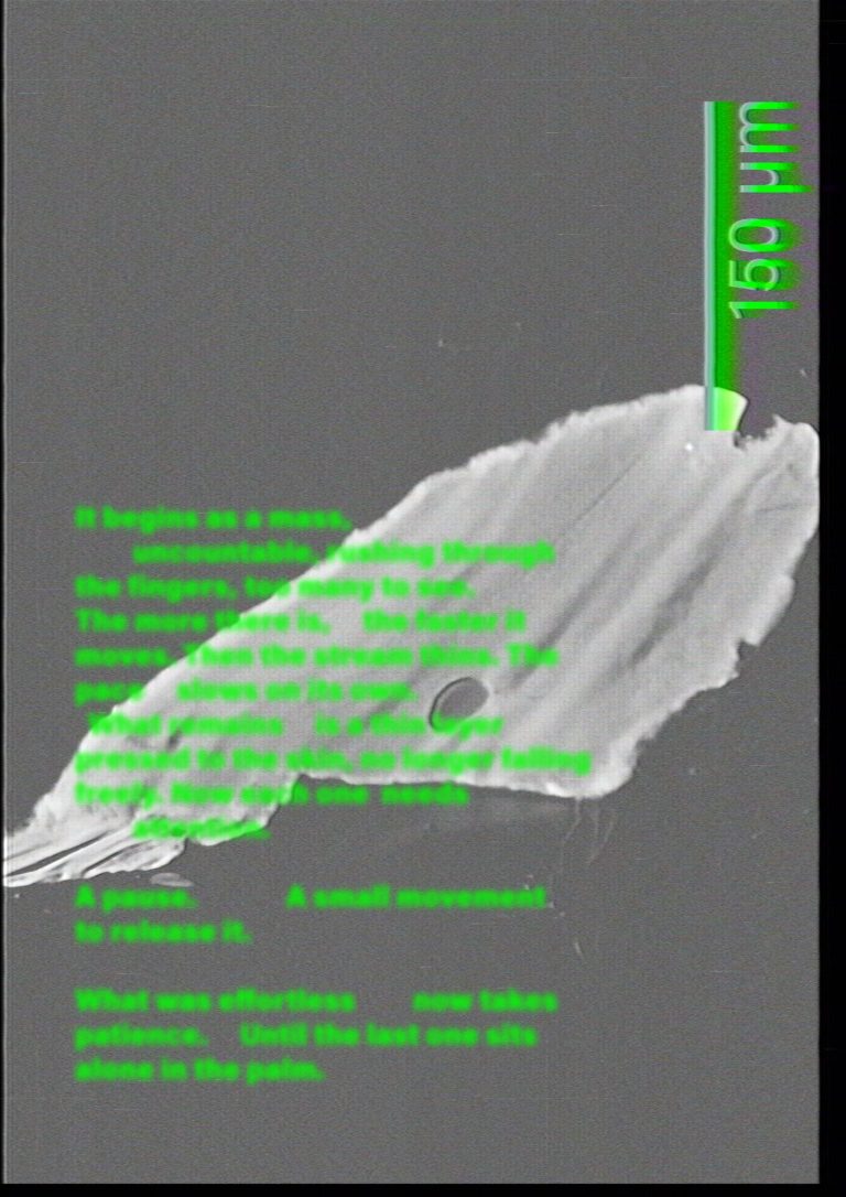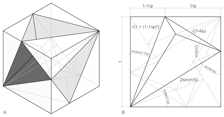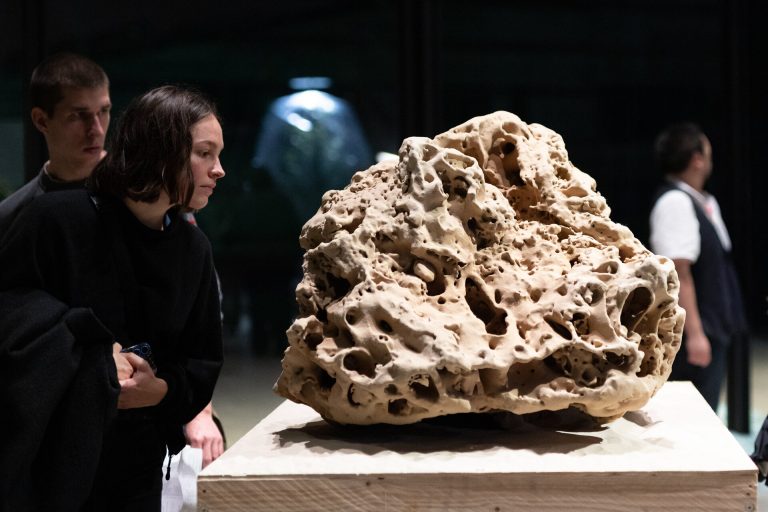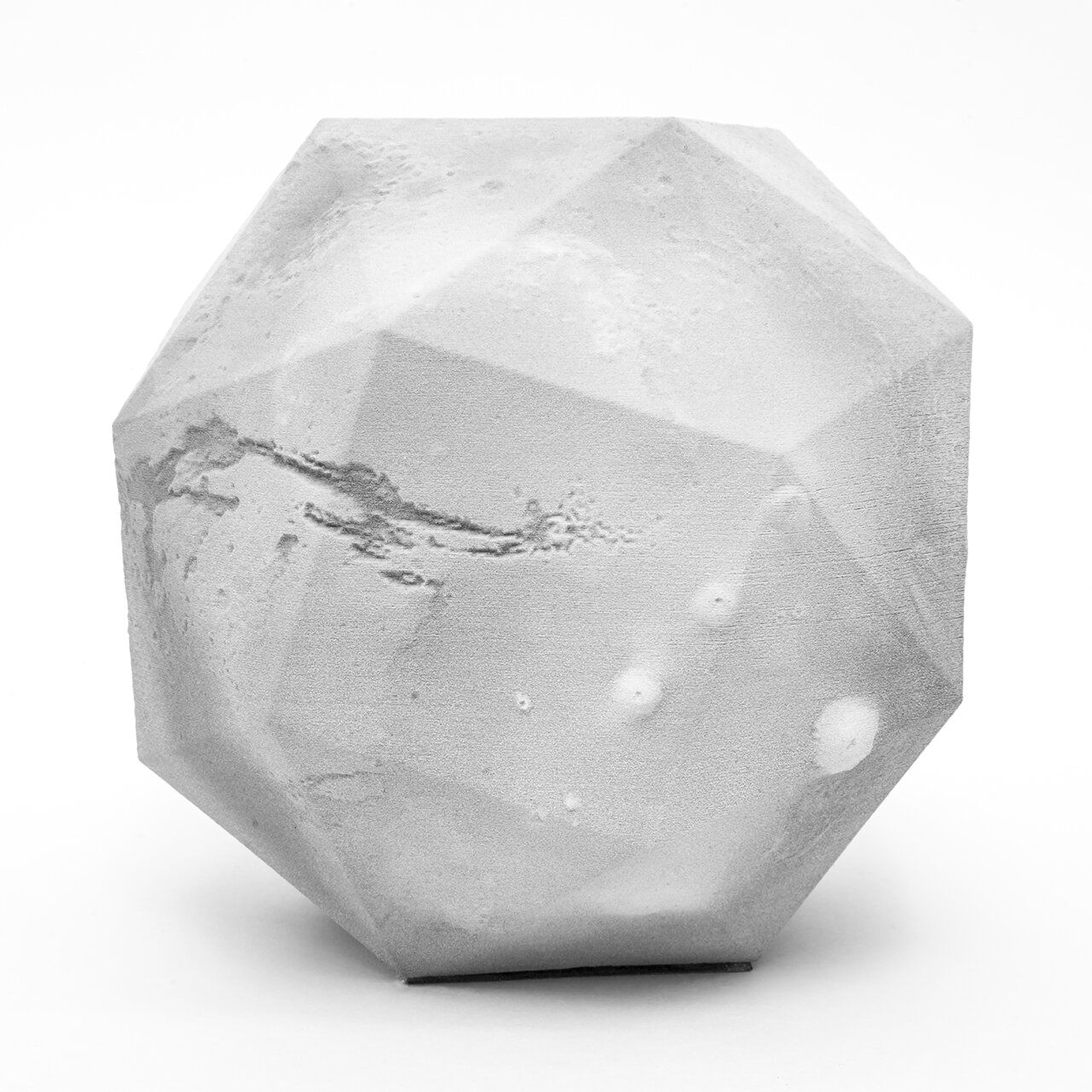
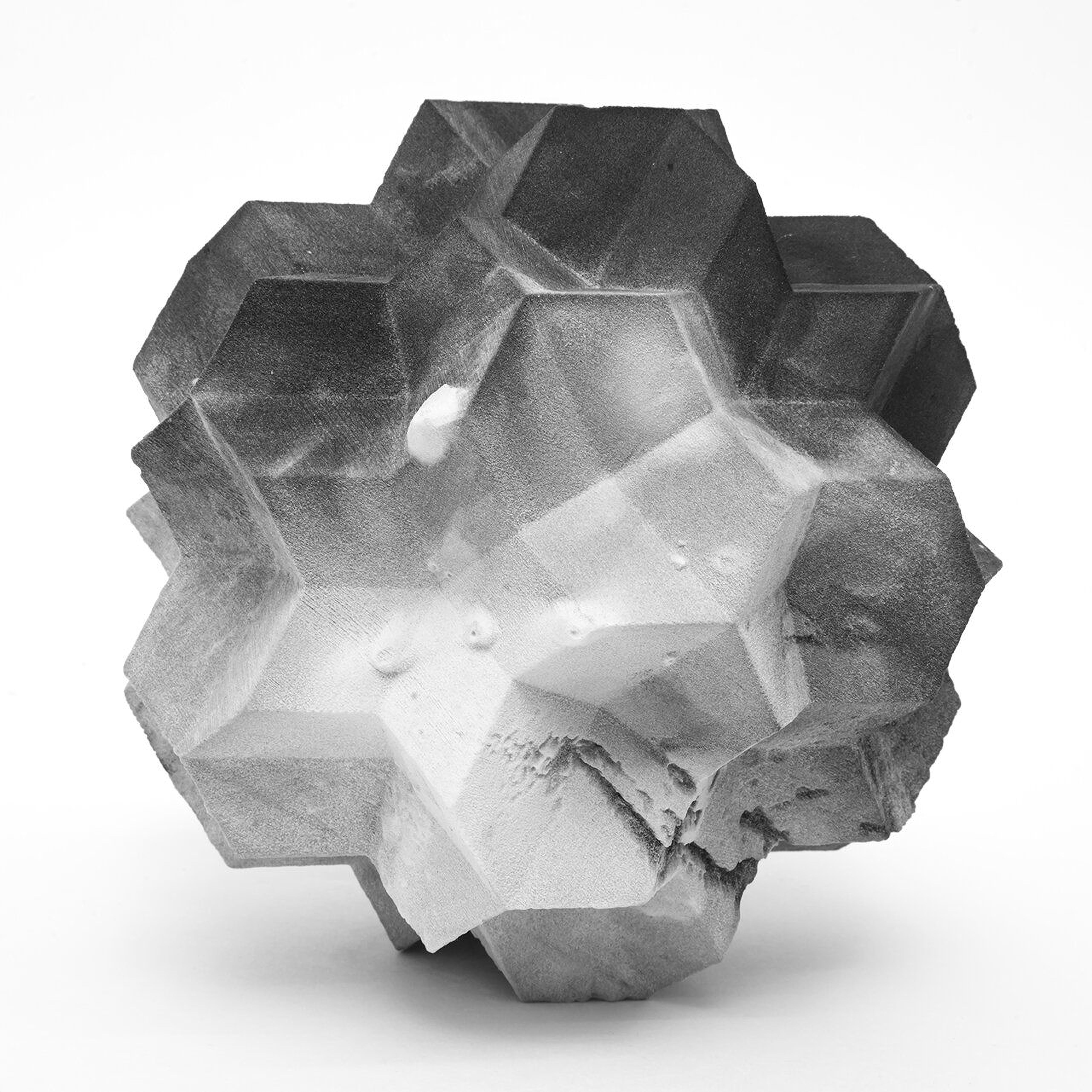

Molahedrons maps Mars surface topography onto polyhedral geometries using NASA Mars orbiter scan data. Extending the Bathemetries approach from Earth ocean floors to Martian terrain, Molahedrons projects planetary relief data onto a variety of three-dimensional forms.
Using the measurements from the laser altimeter on the Mars orbiter, it is possible to determine the elevation of the surface across the planet. The topographic information will translate differently on each polyhedral substrate producing a different relationship between the surface features of Mars and the underlying mathematical structure.
What polyhedral geometries best accommodate the planetary scale terrain data, and how different projection methods will affect the topographic representation will be explored. This investigation remains an ongoing process.
Photography: Phillip C. Reiner
Artwork year: | Last updated: