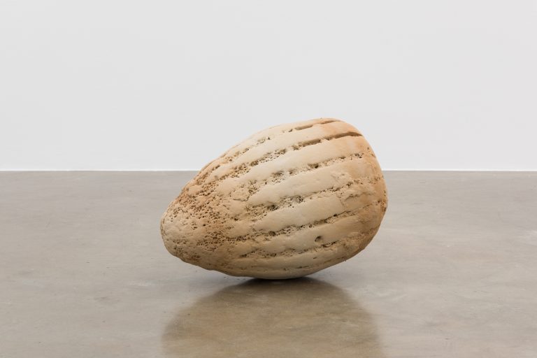
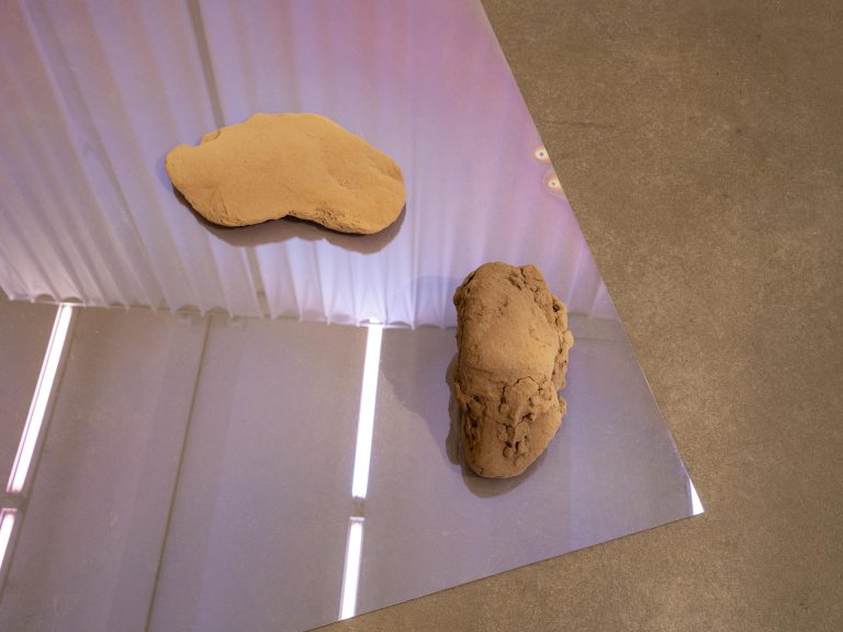
The Bathemetries study explores mapping Earth's surface topology onto polyhedral and spherical geometries. The research begins with bathymetric data capturing underwater terrain and ocean floor relief, projecting this topographic information onto various geometric forms. The investigation reverses and extends concepts from Buckminster Fuller's Dymaxion map projections. While Fuller minimized distortion projecting the globe onto flat surfaces through icosahedral division, this research maps topographic relief data onto diverse three-dimensional forms. Each polyhedral geometry creates different relationships between geographic information and mathematical structure. The study tests how surface data translates across different geometric substrates and which polyhedral forms best accommodate complex topographic patterns. The research examines how scientific measurement data transforms into geometric explorations, revealing new perspectives on natural formations through mathematical projection methods.